Sunday 16th November - Friday 21nd November 2025
Gathering Coordinator: Uwe
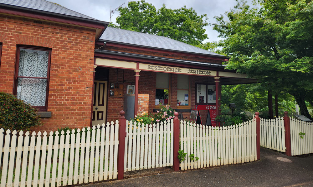
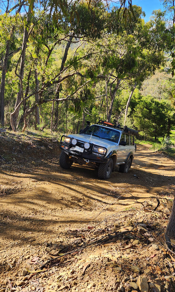
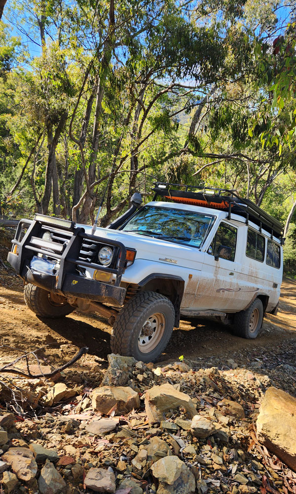
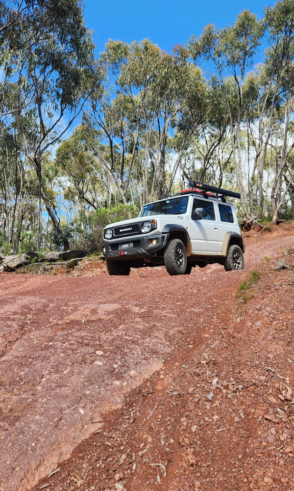
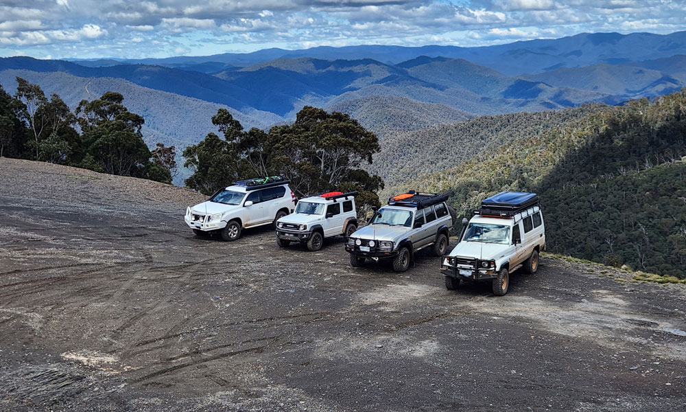
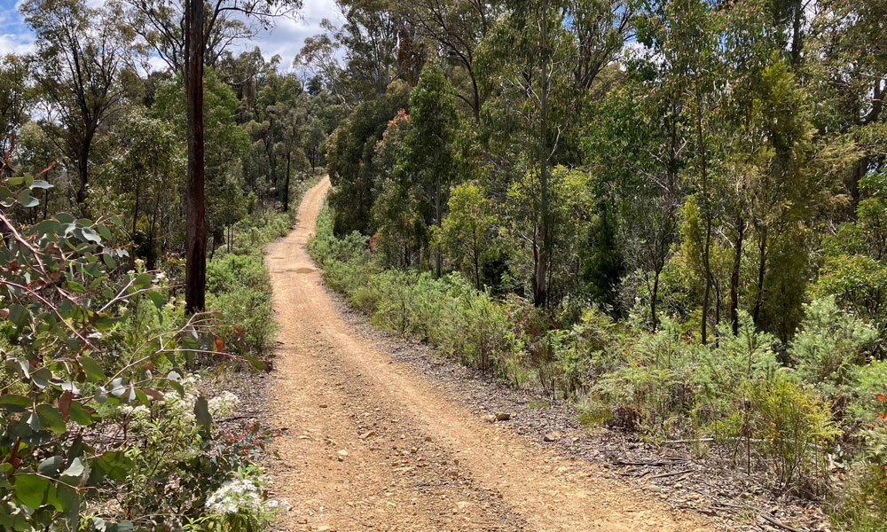
The Offpeak 4WD club holds an annual Gathering that encourages all our members to attend. The club base camps for 6 days and runs two or three trips per day. This year the chosen location was Jamieson. A quaint town on the Goulburn River, close to Lake Eildon and more importantly to a vast network of 4wd trips from easy to very difficult.
The base camp was at the Jamieson Caravan Park which provided all the necessary facilities to make the Gathering a comfortable affair. Members had a range of accommodation options and chose from swags, tents, roof top tents, camper trailers or cabins (yes, cabins!).
The rain began to fall on the Sunday afternoon as folks were arriving. There were enough breaks in rain to setup without getting wet. Sunday night experienced a good amount of rain.
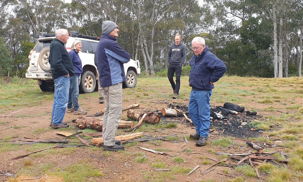
Happy hour was called at 5pm on the Sunday. All participants were welcomed and then Trip Leaders put forward trip options for the Monday, taking into account the forecast of overnight rain.
Luckily the weather improved each day which helped the 4wd tracks to dry out. This meant that some more challenging trips were possible.


Monday 17th - Mount Skene
Leaders: Uwe
Participants: Bill and Gill, Geoff and Peggy, Richard and Maria, Graham, David and Sue H, David H


Monday 17th - Lake Eildon Shoreline
Leaders: Colin
Participants: Tony, Chris & Sue, Sue G, Paul & Tineke, J-P & Trish
After a very wet night and the rain continuing, trips for today were to be of the very easy kind.
0900 am, after a quick briefing, we left camp for a road trip along the shoreline of Goughs Bay, part of Lake Eildon.
After driving for some kilometers toward Mansfield, we turned left on Goughs Bay road and then right onto Walshes road before it turned into Delatite Plantation road.
Passing several camp sites along the shore we disturbed mobs of kangaroos. Turning left onto Ewarts Hill road, some of our trippers were chuffed about the road being named after them! We kept going on Walshes Road until Kangaroo Gully camp site. As it was not raining at the time, the Trip Leader decided it was a good time for morning tea.

Back on Walshes Road / Plantation Rd, we did a hard left up a gentle hill until we reached Stillmans track where we turned right to reach the end of the track on a lovely little peninsula for lunch under some pine trees.

After lunch we retraced our steps back to Jamieson, a round trip of 152 km
Text and Photos: JP and Trish
Tuesday 18th - 15 Mile Hut
Leaders: David H
Participants: Paul and Tineke, Colin, Tony, David and Sue, Graham
Following the 09:00 trip briefing we left Jamieson Caravan Park and headed north up the Mansfield Woods Point Road and turned onto to the Eildon Jamieson Road.
Along the Eildon Jamieson Road we stopped at a scenic lookout which offered limited views over the Goulburn River and Lake Eildon.

We continued on Eildon Jamieson Road until we crossed over the Big River Bridge where we turned into the Jimmy Bullock Camp Areaand had morning tea. We noted that there was a flying fox arrangement set up spanning the river beside the bridge and contemplated why it was set up there.

We then continued a short distance to Dray Track where we aired down. Dray Track follows a ridge line and provides some great views of the surrounding area.

Along the track we caught up to a dozer doing track maintenance. We followed the dozer for a while as it finished the section of track it was working on before we could pass.

We continued on along Dray Track stopping at Mount Duffy Trig point. There we had some discussions about the naming of Mount Duffy and the "What Three Words" geocoding system.
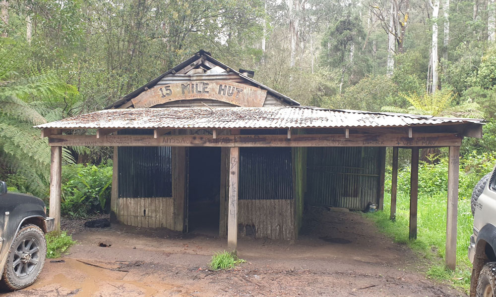
We then went on Ridge Road, Harrys Track and 15 Mile Track to arrive at 15 Mile Hut which was our lunch stop. Harrys Track had a few steep sections.


The hut was in reasonable condition. In the past this hut was a miner’s hut, timber worker’s hut and is now frequented by 4WD groups, including the Jeep Club who had attached a plaque with the names of the people from the club who had donated materials and labour to do works on the hut.

After lunch we headed back up 15 Mile Track onto Bull Range Track where we encountered a short steep and slippery section going downhill.
We connected back onto Dray Track and headed back to Jimmy Bullock Camp Area where we aired up for the trip back to Jamieson Caravan Park where the trip ended. The trip length was around 101km. The tracks were in good condition and the recent rain had suppressed the dust but not made the tracks overly slippery or muddy.
Text and Photos: Colin
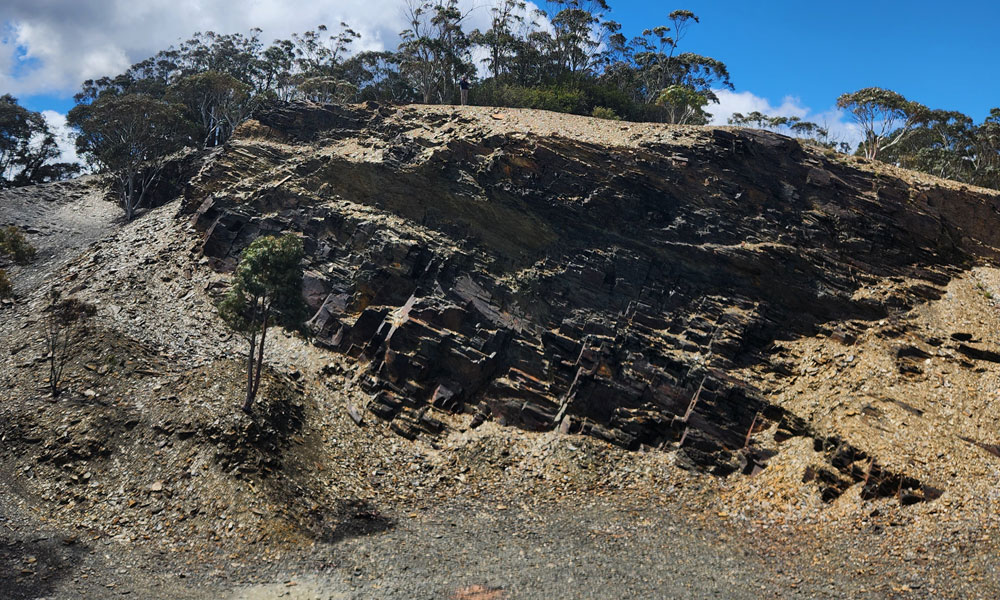
Tuesday 18th - Slate Quarry
Leaders: Bill and Gill
Participants: Chris & Sue, Richard and Maria, Trish and JP, Sue, Angela and Ignatious, Geoff and Peggy and Uwe
It was a grey day, although warmer than the day before and the rain we had experienced over the previous two days had thankfully eased. As the persistent rains may have resulted in tracks becoming muddy, slippery and possibly dangerous, Bill’s initial plans of driving directly to the quarry and returning via other tracks had to be abandoned and it was decided to drive out to the slate quarry along the Howqua River Rd and return the same way, with a possible water crossing at the morning tea site to be included for a bit of variety.
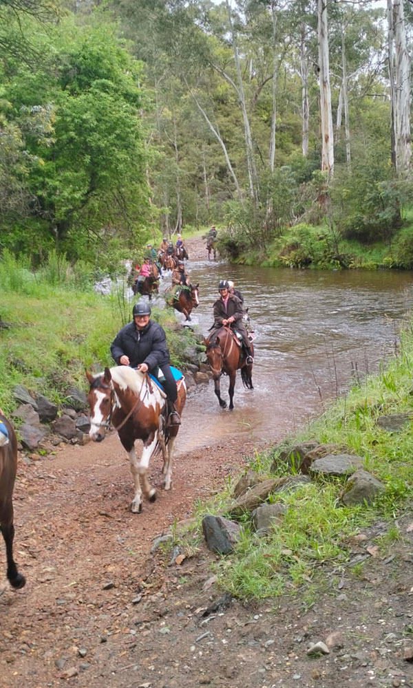
We set off along the Mansfield - Woods Point Road before turning right onto the Howqua River Rd, an attractive drive past private properties into the Mansfield State Forest. After turning left onto Running Creek Track we arrived at the Running Creek Camping Reserve, a well laid-out, picturesque camping ground, home to many inquisitive king parrots. While there we checked out the rather fast-flowing river crossing, but there were no volunteers willing to take up the challenge at this stage of the trip. We did however watch a large group of horse riders make the crossing without incident.
After having our morning tea we left the campground, turned left into Steiners Rd and climbed up into the misty Great Alpine National Park where the track became narrower, a bit rougher and had a larger number of big puddles. We reached the crossroads of the Steiner and Mitchells Tracks where Gill and Bill were fortunate to see a lyrebird cross in front of them. We then took Mitchells Track to the slate quarry. Altitude 1110m. Temperature 8 degrees.
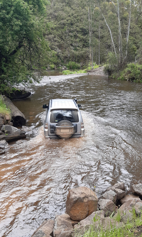
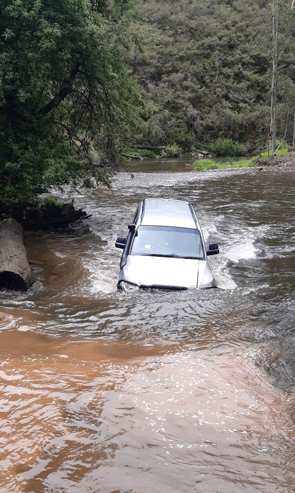
As there was a considerable amount of mist obscuring the views and making the idea of eating outdoors undesirable a decision was made to return to Running Creek Camping Reserve for lunch. After lunch two intrepid 4x4 drivers, namely Uwe and Geoff, decided to rise to the challenge and tackle the water crossing, describing it later as being rocky, quick-flowing and deep enough to get water well above the running boards.
From there we returned to Jamieson by the same route we had come.
Text and Photos: Peggy
Wednesday 19th - Stony Creek to the Slate Quarry
Leaders: David H
Participants: Tony, Colin, David and Sue H
Trip leader David had a plan to cross the Jamieson River on the return but the concern was the depth given the rain over the past few days. If we dropped down the hill to the river we may not be able to get back up as it was on the south side and most likely slippery. So we decided to take a quick detour to Granny’s Flat Reserve and check out the river. It was decided by all that we would only cross if we had to and as we didn’t, we wouldn’t.

Back to Jamieson and the Mansfield-Woods Point road. As there would be no room to air down once we turned onto Stony Creek Track, we did so a short distance before the turnoff on the main road.
Once onto the track it was an immediate steep climb and we waited to be called up by the preceding vehicle. We continued until we reached Mitchells Track and turned left and continued along Mitchells for quite some distance.
David had been along this track before and was wary of a rock step descent so stopped to have a look. We spent some time deciding the best line and with a spotter, all proceeded down without any issues.
Morning tea break was had along the track. The track is typical high country, up and down steep climbs and descents and alternating between clay and rock with the colour changing from orange clay to white and red rock.
We continued along until we reached our goal which was the Mitchell’s Track Slate Mine and spent and enjoyable time walking around the quarry site and taking in the beautiful views all the way to Mt Terrible.
We back tracked to Steiners Road and drove some distance until we reached Running Creek Camping Reserve where we stopped for lunch. Here we were invaded by King Parrots which seemed to have no problem being close to us.
Before leaving we checked the river level and although flowing fast could be crossed but we were happy not to have to do so. Back out to Steiners Road and onto Howqua River Road where we aired up a short distance from the main road. Here our trip leader David left us to return home and we continued back to base.
Text: Tony
Photos: David H
Wednesday 19th - Woods Point
Leaders: Graham
Participants: Chris and Sue, Uwe, Geoff and Peggy
We set off just after 9:00 am on a beautiful sunny morning with the hope that the tracks would have dried out after the rain of the previous few days, heading south along Mansfield Woods Point Road through Kevington and its historic hotel and onto the gravel. Travelling on past various picnic grounds and campsites, we arrived at our first 4wd challenge for the day – German Spur Track.
After airing down, we immediately pointed our noses skyward and began the long steep climb up the spur. This was something of an eye-opener for Chris and Sue ,who are relative newcomers to high country four wheeling, so we took it slowly, one spoon-drain at a time, to allow them to get a feel for the capability of their vehicle, and to give them the time to get comfortable with the terrain. Fortunately, the surface was un-rutted, firm and smooth, and provided good grip, and they handled the climb with aplomb, so we were soon making our way along the ridge with a break for morning tea.
Inevitably, down followed up and we re-joined the main road at Frenchmans Gap where we turned left towards Woods Point, stopping at the last picnic ground before the town for lunch. At this stage, Chris and Sue left us to return to Melbourne, so four became three.
From Woods Point, the plan was to head through Matlock and do a loop along Jericho Track and a couple of other tracks, back to Matlock and back to camp. But Jericho Track was seasonally closed until the end of November. So, plan B… Along Walhalla Road then north along Abbots Creek Track (an extremely steep and lo-o-o-ng descent) to a creek crossing with a tricky exit, then an equally steep, adrenaline pumping climb along Clarke Spur Track and Old Coach Track to re-join the Jamieson Woods Point Track back at Frenchmans Gap.
All that remained was a cruise back to camp just in time for happy hour. I didn’t measure the distance travelled, but an estimate of 140km would not be far off.
Text & photos: Graham
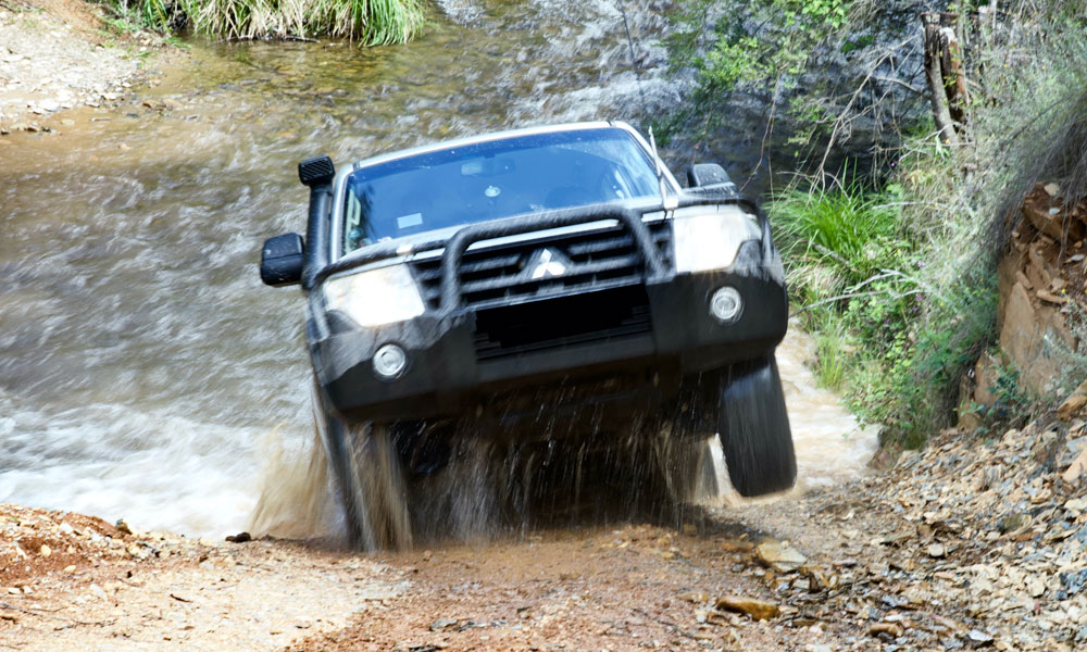
Wednesday 19th - Sappers Track
Leaders: Paul and Tineke
Participants: J-P and Trish, Richard and Maria and Bill and Gill
Four cars enjoyed a delightful morning trip exploring the Jamieson State forest on the Sappers track. We had a leisurely start at 9.30 and turned onto the track within a few minutes of leaving the camp ground. We immediately experienced a steep hill climb, followed by several more steep hill climbs, fortunately these were all surprisingly dry after so much rain. After climbing up to 750m we were rewarded with lovely views of the valley below basking in sunshine. This was our morning tea spot. Everything that goes up has to come down, so down we went. Along the way orchids were spotted and also some tall purple foxgloves. We decided these had escaped from a private garden but added an unusual sight amongst the rugged undergrowth.
At the end of the long descent we came to the river crossing across the Goulburn river. From an elevated advantage point we were able to see and choose the best way across the river. This necessitated going in a boomerang shape to avoid a deep pool area and getting the car submerged. The water level reached and covered most of the tyres, but we all got through with no dramas.

The ascent out of the river crossing was steep and the need to get up and out of the gully provided a small challenge. We regrouped after the crossing to enjoy the historical boards about a previous bridge at this spot, but burnt down in the late 1980’s. This bridge, named Bains Bridge, was built by 16 Sappers, hence the name of the track. We then joined the main road back to Jamison as it meandered along the Goulburn river. Some travelled back to camp for lunch others enjoyed more of the calm and peaceful river spot.
Sappers Track was 14 km long, a perfect length for a ½ day trip of challenges and adventure.
Text: Gill
Photos: Paul
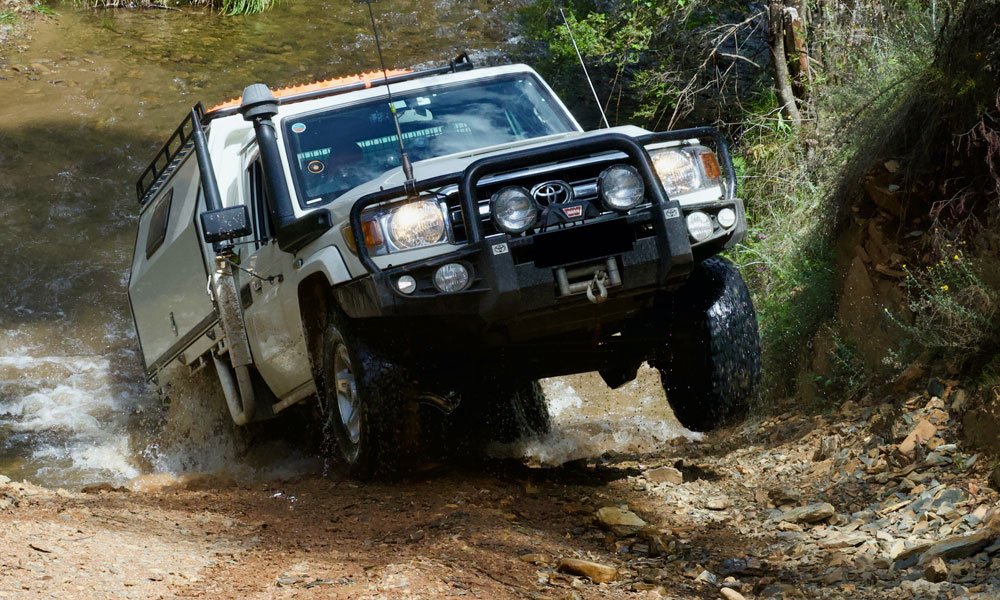
Thursday 20th - Mt Terrible
Leaders: JP
Participants: Tony, Richard and Maria, Uwe
Left the caravan park at precisely 8:30am and proceeded to the main road. Turned left at Gooley’s Bridge onto the Eildon-Jamieson Road. We travelled the 10 Klms to the Mt Terrible turnoff where we aired down. The track them immediately climbed and of course would do so all the way to the top.
There were numerous bypasses and at various times a choice of up to three options to choose from. Our trip leader JP had his work cut out having to decide which track to take but as usual managed to make the right choice.
The track at times was very rocky and slow going but eventually we reached the summit where we had morning tea. We were fortunate with the weather and were rewarded with views although it was quite chilly.
We continued along Mt Terrible track with some steep descents and a view of the other side of Mt Terrible. Continued until reaching Ryan Spur Track where we turned left onto Moonlight Spur Track. Another typical high country track with steep climbs and descents although more down than up. A few were quite rutted and rough and needed some careful wheel placement.
We continued towards Mansfield-Woods Point Road at Knockwood where we made two water crossings; first Moonlight Creek then Gaffneys Creek. Here we turned left back towards Kevington and a short distance up the road stopped for lunch at Snake’s Reserve. After lunch we aired up and headed back to Jamieson.
Text and Photos: JP and Trish
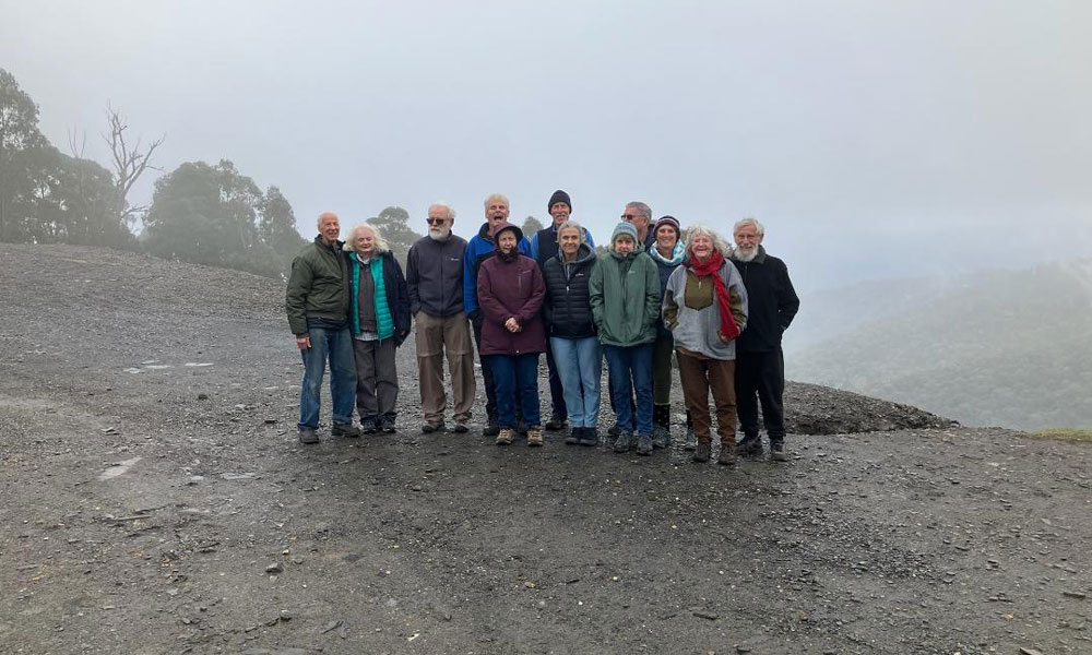
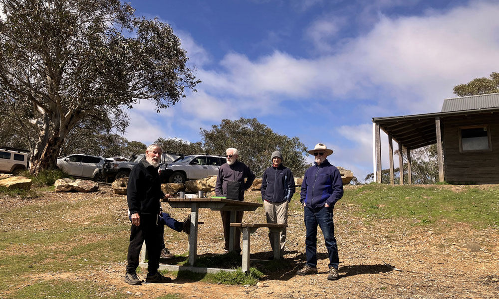
Epilogue
A huge thanks to Uwe for an amazing job in organising and running the 2025 Offpeak Gathering!