Tuesday 17th March - Friday 20th March
Leader: Colin
Participants: David, Gary & Tony
Tuesday 17th of March
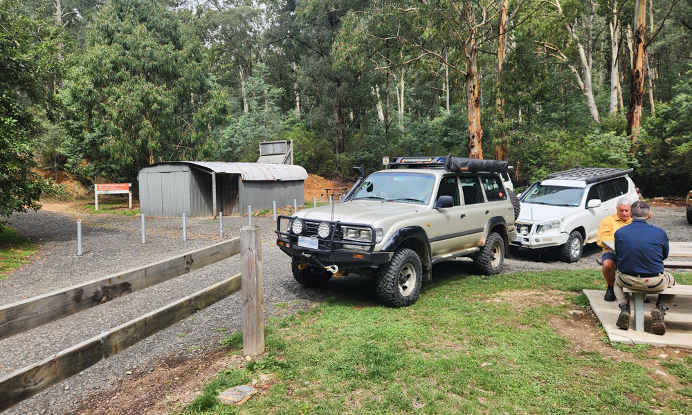
The Erica Recreation Reserve was the designated meeting point. There were tell-tale signs of the overnight rain, with low cloud still visible. That did not at all diminish the excitement of a Victorian High Country 4WD adventure. Colin ran through the trip leader briefing and before long, we were heading towards Junction Hut and Donnelly Creek Track. The plan for the first day was to reach the Macalister Gorge and the beginning of Burgoynes Track.
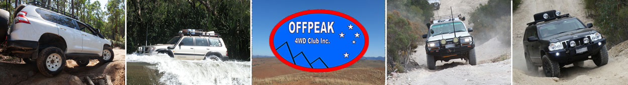
Our first stop was at the Thomson Dam Wall. Gary informed us (amongst many other things on the trip) that there had been a recent minor earthquake in the area. This explained all the survey equipment on the dam wall. The water level of the dam was far from capacity. We estimated around 50% (later confirmed at 68%).
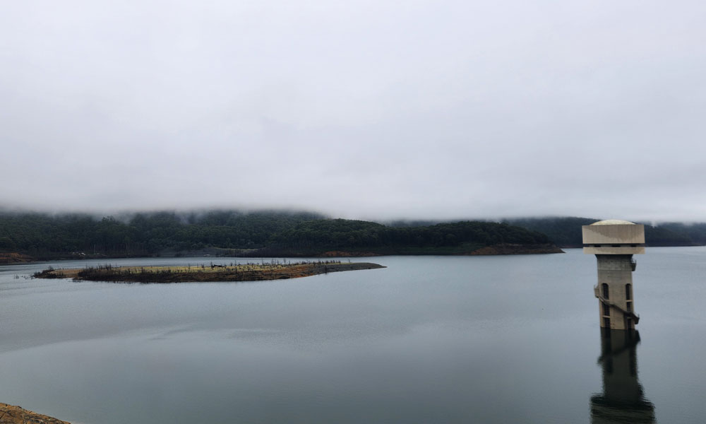
As we had plenty of time and energy, we decided to walk to the Water Wheel. This is an amazing mining relic and a great reminder of the ingenuity of our forefathers (or is that forepersons?). We did get attacked by several leeches along the walking trail.
We had built up an appetite after the walk and stopped at Store Point for our lunch break.
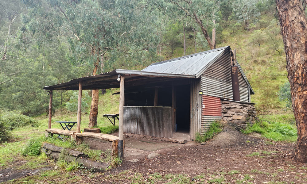
Our next planned stop was Morning Glory Hut. We had to drive a fun descent to reach the hut. It is a cool hut, but not so good for camping, as there are more dirt than grassy areas.
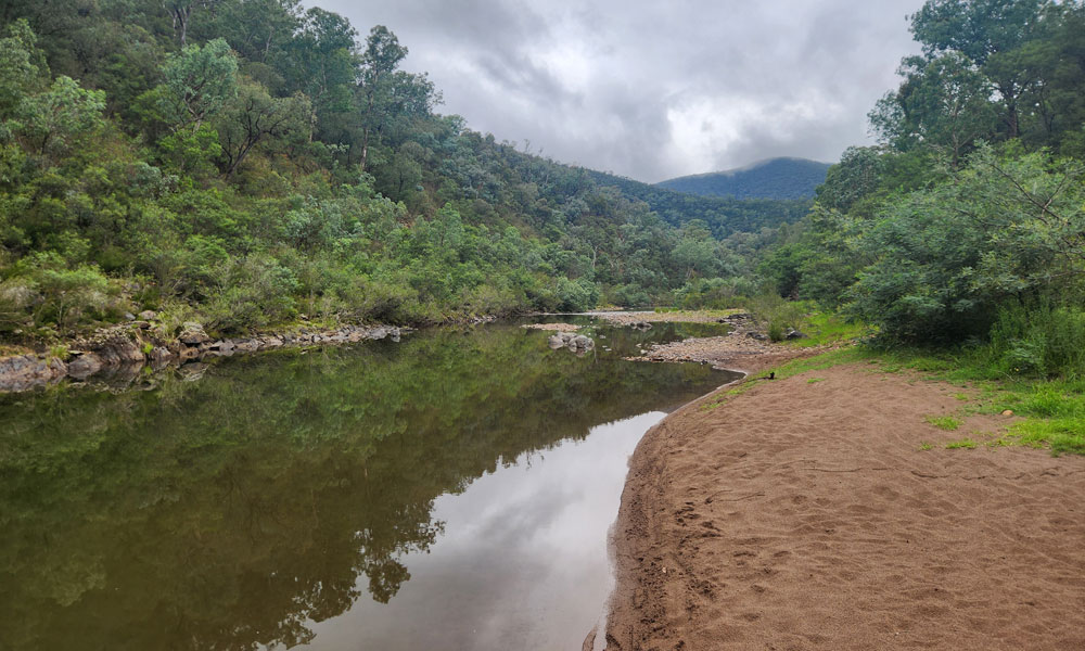
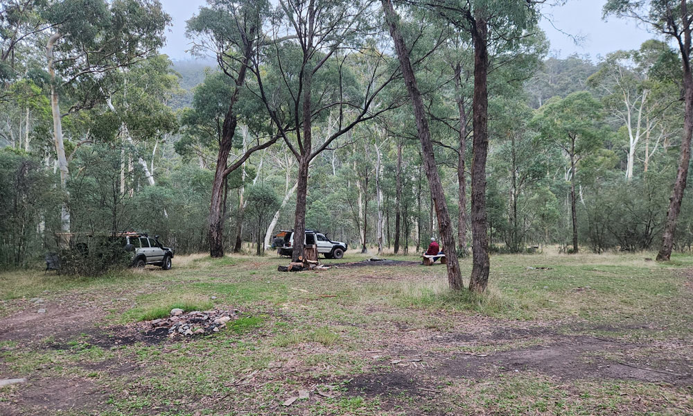
We moved along to the Macalister Gorge proper and found a nice grassy campsite along the Macalister River. I wondered who this Macalister person was—lots of significant things are named after him! To answer this question, these were named after Captain Lachlan Macalister. While discussing interesting facts, the Aboriginal name for the Macalister River is “Wirn wirndook Yeerung”. This translates approximately to “the song of the emu wren.”
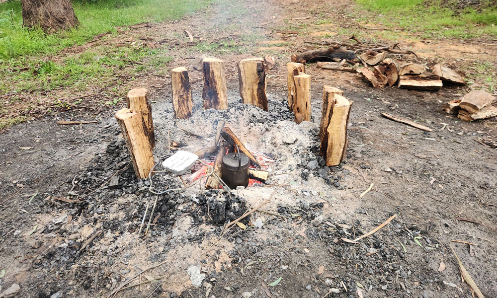
We built a replica of Stonehenge around the fireplace and began our tribal dance. No we didn’t! Well, we didn’t dance.
Wednesday 18th of March
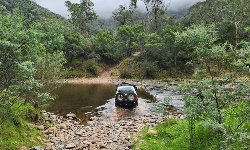
It was a surprisingly warm and somewhat humid night. This morning was all about crossing the Macalister River. That ended up being a fizzer, as the water levels were low—which was actually a good thing, as we didn’t really want to backtrack around to Cheynes Bridge.
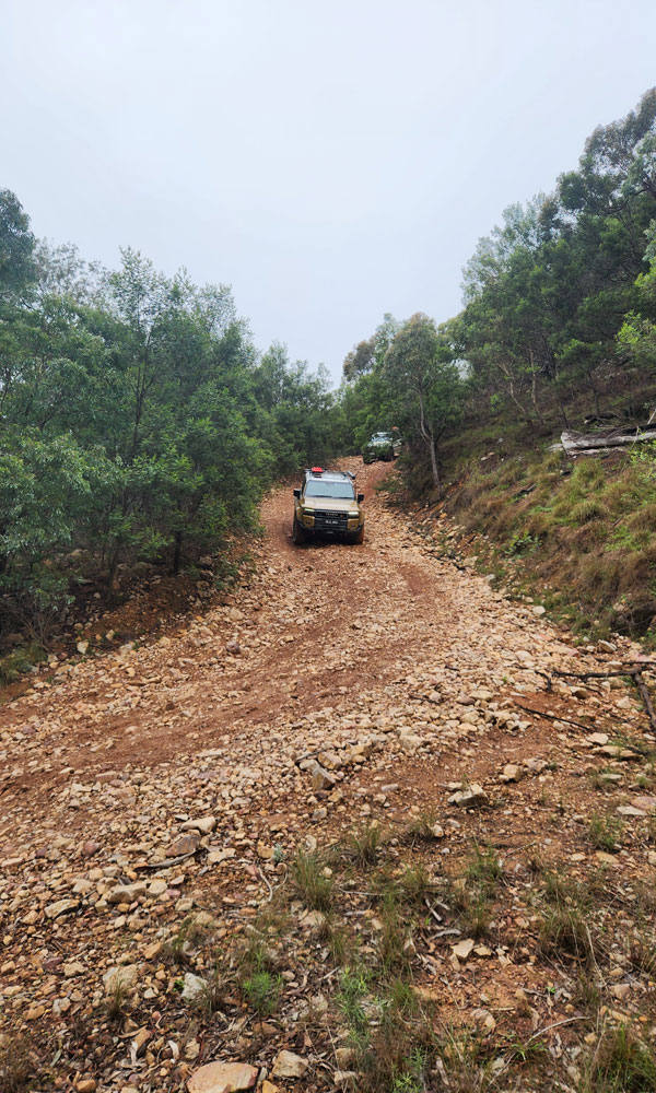
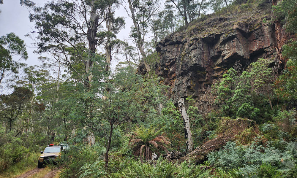
After the river crossing, we experienced a ton of fun with an ascent to the helipad on Burgoynes, followed by a steep and rocky descent down to Licola Road. I think the bangs from the Prados bottoming out could be heard in the next valley.
Along the way, we passed several lookouts and helipads, however had to use our imaginations to picture what lay behind the clouds. We reached Licola for our morning tea stop. The price of diesel was $2.90—let that sink in. Expensive or cheap (due to the Iran war)? We would find out in a few days.
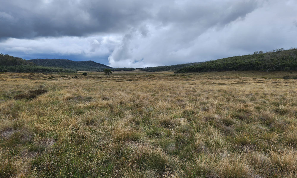
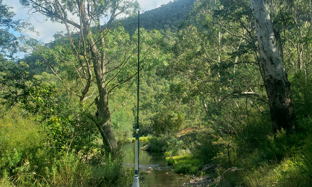
The next stop was our lunch break at McMichaels Hut, a lovely hut on a pleasant stream. We took our lunch break here. Then on to Kelly Hut, which never disappoints, with an amazing view of Alpine peatland.
We pushed on to Dingo Hill Track via Scrubby Hill Track. Deep down, we were keen to experience this track, as it had been many years since any of us had driven it. Did it disappoint? Not at all. There were enough “fun” sections on the descents, with tight switchbacks, to keep us all on our toes (or with some fancy crawl control enabled).
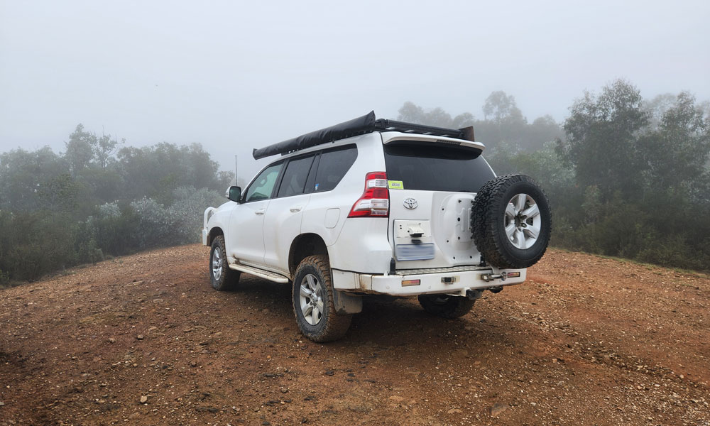
Having completed Dingo Hill Track and thumping our chests, we continued along Caledonia Track until we reached Gary’s secret campsite. I would like to provide some details; however, we were all sworn to secrecy. I would rate this campsite as a 9.5/10—it lost 0.5 as the Caledonia River was too cold.
We actually arrived at camp at 3:00 pm and made the most of this amazing campsite in the valley. The Caledonia area is very pretty indeed. Of course, we had a nice campfire too.
Thursday 19th of March
After a blissful sleep, we packed up and left camp around 8:30 am, then proceeded to complete Caledonia Track. We passed Fred’s Rock. We crossed the Caledonia River more times than I can count. We took in the amazing, lush Australian bush. We snickered at the “blackberry plantation.” Most of all, we thoroughly immersed ourselves in this 4WD High Country experience.
At the end of Caledonia Track, three of the vehicles turned left and headed north. While one turned left, as they needed to get back to Melbourne.
Handing over to Tony to continue the report...
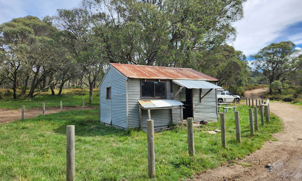
David left the group to head home when we reached Howitt Road, and the rest of us turned north toward Howitt Hut for morning tea. At this elevation, we encountered quite heavy fog, which stayed with us for the next few hours. At Howitt Hut, there was a small herd of horses in the holding pen and a group of tents nearby, but we didn’t see anyone apart from some people preparing to work on the nearby Bicentennial National Trail and Dry River Track.
Leaving the hut, we headed further north to the Butcher Country Track. Still in mist and fog, we travelled a few kilometres before stopping to let a convoy of seven highly modified Toyota FJ40s pass. There were a couple of V8s, and six of the seven drivers sported beards. Apparently, one of the vehicles had been damaged earlier, and after travelling a short distance, we came upon a rock step which may have caused it. Colin managed to get through; however, the Prado would have struggled with ground clearance. Gary suggested using two stacked MaxTrax to build up a large rock, and this worked perfectly, allowing the Prado to clear the step without touching.
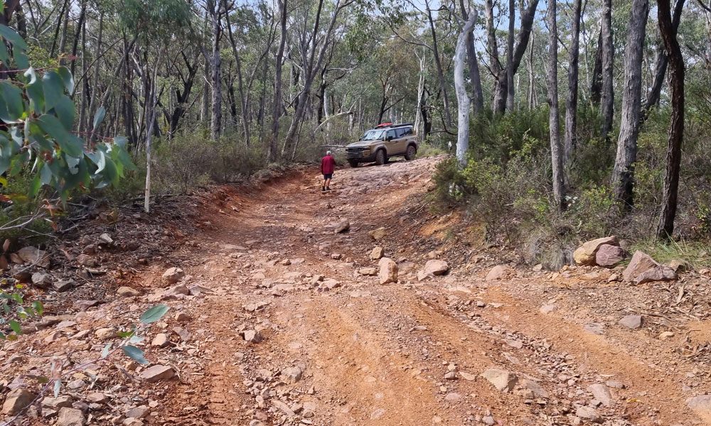
With the fog slowly lifting, we continued to a campsite for lunch, then on to a lookout for another break and a clear, classic High Country vista. Numerous rock steps followed, and we needed to stop and assess a few times, with some spotting required.
Reaching the Macalister River Track, we stopped for an afternoon break, then continued through numerous rocky river crossings which, although shallow, required care. One crossing was particularly scenic. After this, the track became rutted with numerous bog holes, though it wasn’t too difficult.
Turning southwest onto Black Soil Gully Track, we encountered a badly chopped and rutted surface from recent wet weather, but found it manageable. We covered numerous switchbacks as we climbed to Bull Plain Spur Road, which felt like a freeway after Black Soil Gully Track.
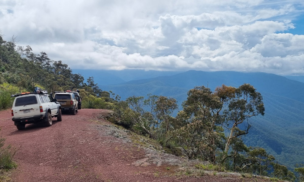
We veered onto Middle Ridge Road and encountered a warning sign for a bulldozer ahead. After checking, we were waved through and proceeded down a smooth road surface. The descent along the cliff face was spectacular, with numerous switchbacks. At the bottom, we reached our destination: Rumpffs Flat Campground. The large grassy area was greatly appreciated and, as with the previous two campsites, there was no one else around.
Friday 20th of March
After another peaceful night, we had a leisurely breakfast and packed up camp with no great rush. Once out of the campsite, we turned onto McMillans Spur Track and immediately began a steep climb. We continued up into the cloudy mist without stopping until we broke through into clear sunlight and blue sky. Toward the top, the track became muddy and slippery but didn’t slow us down significantly.
Upon reaching Jamieson–Licola Road, we turned south onto a wide, flat surface and made our way to Licola. We enjoyed the clear blue skies and sunlight streaming through the trees until we began descending back into the mist as we approached Licola, where we ended the trip with coffee and snacks at the newly reopened general store.
Many thanks to Colin for organising and leading an enjoyable and challenging trip.
Text: David & Tony
Photos: David